 |
 |
.
|
|
.
 |
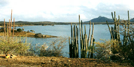 |
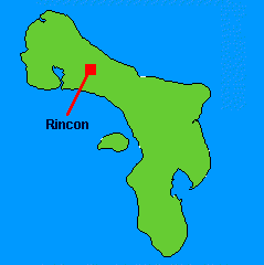
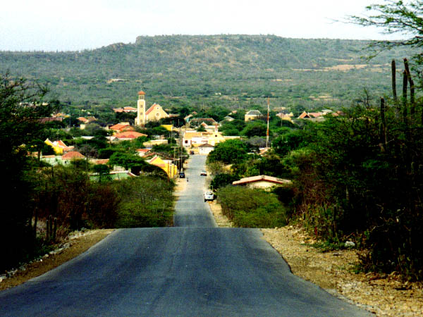
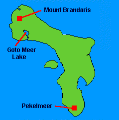
Goto Meer is a lake in Washington Slagbaai National Park in northern Bonaire. This lake is an important flamingo sanctuary. Notice the many cacti that grow on Bonaire. In the background is Mount Brandaris. At 784 feet above sea level, it is the highest point on Bonaire.
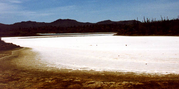
At high tide and during storms, lowlands surrounding inlets such as Goto Meer become flooded with salt water. As this salt water evaporates, beds of salt are left behind on the ground. This photo shows a salt bed near Goto Meer. Most of the southern end of Bonaire is operated as a commercial solar-powered salt factory, and surrounds the Pekelmeer Flamingo Sanctuary.
.
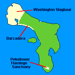
Bonaire is home to several national parks. At the north end of Bonaire is Washington Slagbaai National Park. Once a private plantation, this land became a park when its owners donated it to the Bonaire government for preservation of the important and fragile desert resources. Along the northwestern coast is the Barcadera Park.
Bonaire Marine Park includes everything between the high-water mark of the high tide to 200 feet below the surface of the sea. The Netherlands Antilles National Parks Foundation has protected the important and fragile ocean resources around Bonaire since 1979.
.